
For centuries, cemeteries have relied on traditional bookkeeping methods and manual record-keeping to manage burial plots, store information, and address the needs of families. In recent years, thanks to technological advancements and the rise of digital platforms, the cemetery service industry has undergone a remarkable transformation.
Recognizing the limitations of traditional cemetery management practices, countless cemeteries have now embraced new digital solutions and mapping technologies, like CIMS, to revolutionize their data storage. Drone mapping, one of these new and impressive developments, has opened up a world of possibilities for cemetery management, providing comprehensive visual data that was previously unattainable.
What is drone mapping?
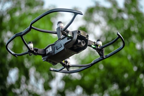
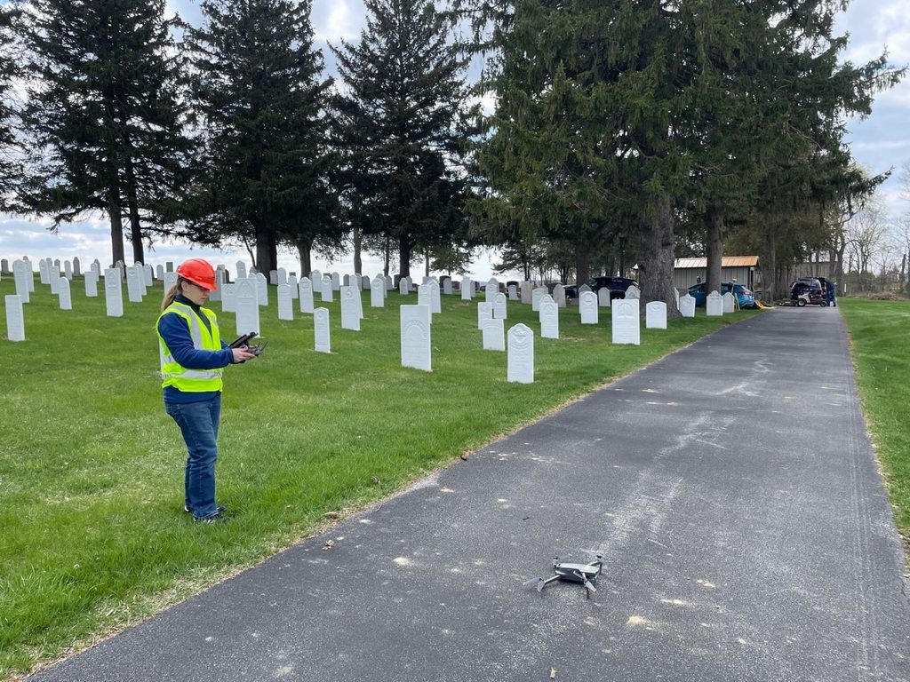
Drone mapping is a huge asset when it comes to efficient cemetery management. This technology has been instrumental in allowing administrators to build precise digital maps that allow cemeteries to navigate burial plots, track available spaces, manage maintenance tasks, and more. It involves using a drone to follow a predetermined flight path over designated areas, capturing thousands of high-resolution images at regular intervals.
After the drone flight is complete, these images are stitched together with specialized software, creating a seamless aerial map of the cemetery. The resulting map is analyzed and processed to identify burial plots, paths, buildings, landscape markers, and other prominent features within the cemetery.
How is drone photography useful for cemeteries?
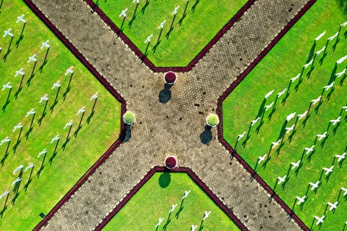
By capturing detailed imagery to generate accurate maps, drone photography can provide cemetery managers with unprecedented insights into the layout, conditions, and availability of burial spaces. When added to digital cemetery mapping software, drone photos makes it easier to identify grave locations and record burials.
When to Use Drone Photography for Cemetery Mapping
Drone photography can be valuable for cemeteries of all sizes, but it is especially beneficial when managing large properties, expanding burial sections, updating records, or improving public-facing maps. Traditional mapping methods often rely on manual measurements and outdated records, making it difficult to accurately visualize current conditions.
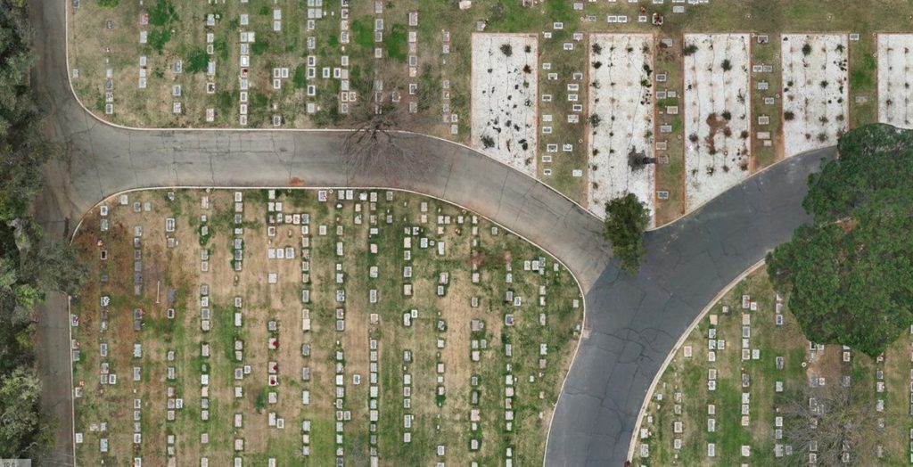
Drone photography provides a fast and efficient way to capture the entire cemetery from above. This aerial perspective helps identify burial sections, roadways, monuments, landscaping features, and undeveloped areas. It can also be particularly useful when digitizing paper records, verifying plot locations, planning future expansions, or creating a more accurate inventory of available spaces.
For cemeteries transitioning to digital mapping software like CIMS, drone photography serves as an excellent foundation for building a modern, visual record system.
How to Incorporate Drone Photography into Cemetery Maps
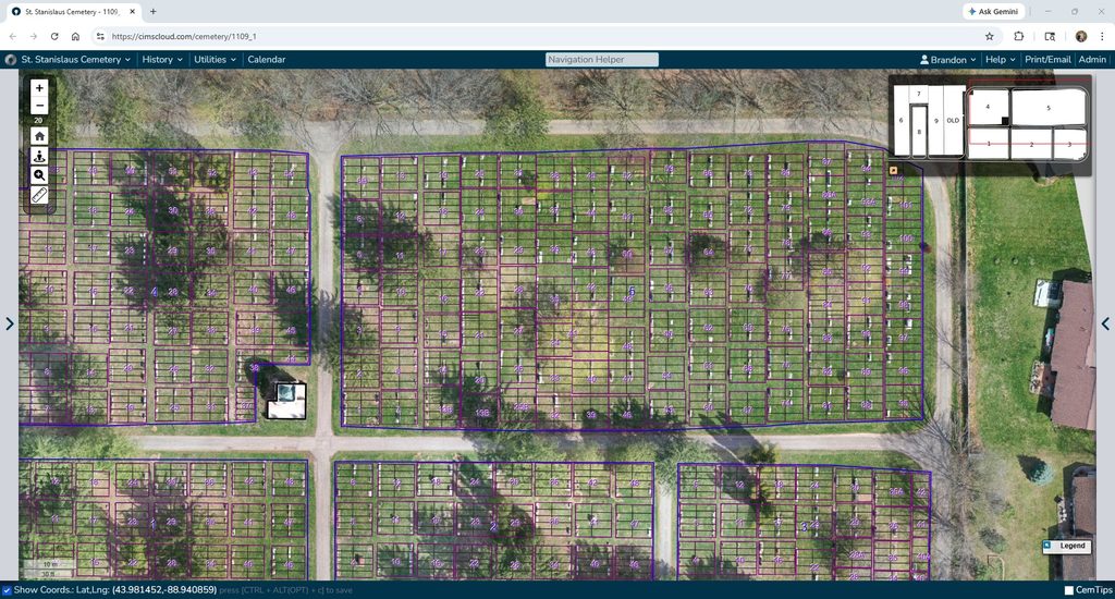
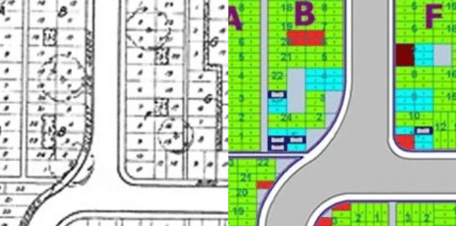
Drone photography becomes even more powerful when combined with cemetery management software. After aerial images are captured, they can be processed into detailed orthomosaic maps that provide a high-resolution, top-down view of the property.
These maps can then be integrated into cemetery mapping platforms such as CIMS, allowing staff to view plots, ownership records, burial information, and spatial data within a single system. When paired with accurate surveying techniques and ground control points (GCPs), the imagery can be aligned with real-world coordinates, creating a reliable digital map that supports daily operations.
With an integrated mapping solution, cemetery staff can quickly search for graves, verify locations, update records, plan maintenance activities, and provide better service to families and visitors without relying on paper maps or manual field verification.
How Often Should You Capture Drone Photography of Your Cemetery?
The ideal frequency for drone photography depends on the size of the cemetery and how often the property changes. Many cemeteries benefit from capturing updated imagery every few years to keep maps current and ensure records accurately reflect the existing conditions on site.
Additional drone flights may be warranted after significant changes, such as:
- Development of new burial sections
- Construction of roads, buildings, or memorial features
- Large-scale landscaping improvements
- Major restoration projects
- Record modernization initiatives
Regularly updated imagery helps maintain accurate records and ensures cemetery staff are working from the most current representation of the property. For organizations actively growing or modernizing their operations, scheduled updates can support long-term planning and more efficient space management.
Cost of Drone Photography and Video for Cemeteries
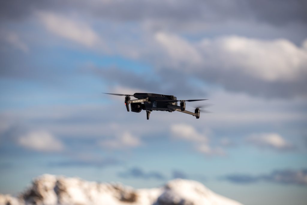
The cost of drone photography for cemeteries varies depending on several factors, including property size, terrain complexity, desired accuracy, and the level of processing required. While a basic aerial photo may provide a general overview, creating a highly accurate cemetery map often requires additional surveying, image processing, and quality control measures.
When evaluating providers, it is important to understand what is included in the final deliverable. Some companies simply provide aerial imagery, while others combine drone photography with professional surveying techniques to produce spatially accurate maps suitable for cemetery management.
Although investing in quality mapping may have a higher upfront cost, the long-term benefits can be substantial. Accurate digital maps can reduce staff time spent locating graves, improve recordkeeping, support future planning efforts, and minimize costly errors associated with inaccurate plot data.
For cemeteries looking to modernize operations, drone mapping should be viewed as a long-term investment in data accuracy, operational efficiency, and improved service to families.
What makes CIMS a leader in drone imagery?
Recognizing the limitations of existing surveying methods, CIMS implemented a proactive approach to ensure our drone-generated maps are precise and spatially accurate to eliminate potential errors that might impact cemetery operations.
Backed by Ramaker, a full-service architecture and engineering firm, CIMS offers a unique advantage with our technological capabilities and cutting-edge solutions. CIMS goes beyond the drone photography standard by integrating specialized surveying equipment and techniques.
When most companies use drone imagery, they don’t make use of spatially accurate ground control points (GCPs), reference points within the area that help correctly align the aerial images. By using GCPs, CIMS offers accuracy within an inch, compared to the standard 5–10-foot margin of error. While this might not seem like much, it can pose significant challenges for cemeteries, such as misidentification of burial plots and ineffective space management.
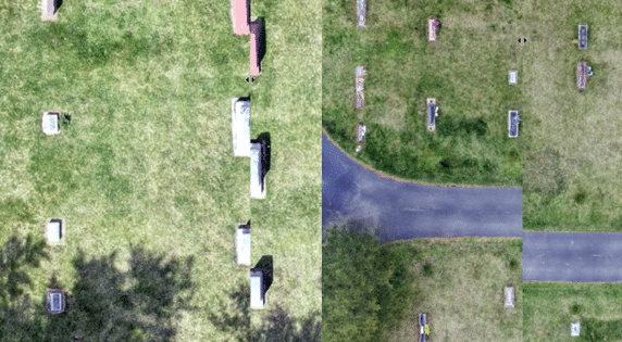
The growing integration of drone photography and accurate mapping techniques has propelled cemetery management practices into a new era of efficiency, accuracy, and ease. CIMS Cemetery Software has solidified itself as an industry leader thanks to its uniquely advanced surveying technology and software. With our commitment to excellence, CIMS can offer cemetery managers the reassurance that all their data is reliable, safe, and precise.
Ready to start mapping your cemetery? Request pricing for your cemetery or schedule a virtual demo with a CIMS expert!