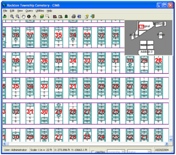
Rockton Cemetery had been using a combination of paper maps and cards as well as ArcView GIS software to manage their cemetery operations. This had been cumbersome to maintain and was prone to data entry errors.In 2002, the cemetery hired CIMS to take their existing data and integrate it into our CIMS Professional. Information from the paper maps and from the ESRI shapefiles was all integrated into the program and the cemetery manager was easily trained in the use of the now streamlined software program.