
Cemetery Software for Cities and Municipal Cemeteries
Having the right software for a specific management type for a cemetery is important. We’ve tailored our software to fit different ownership and administrative situations, including city and municipally-owned cemeteries.
Choosing the Right Software
Managing a municipal cemetery for a city of town often involves multiple people and coordination for long-term consistency. Using a cloud-based software like CIMS allows employees and directors the ability to access records and update plot information from just about anywhere. A variety of integrations also allows staff to have transparent and seamless data analysis and retrieval for accounting or inventory management.
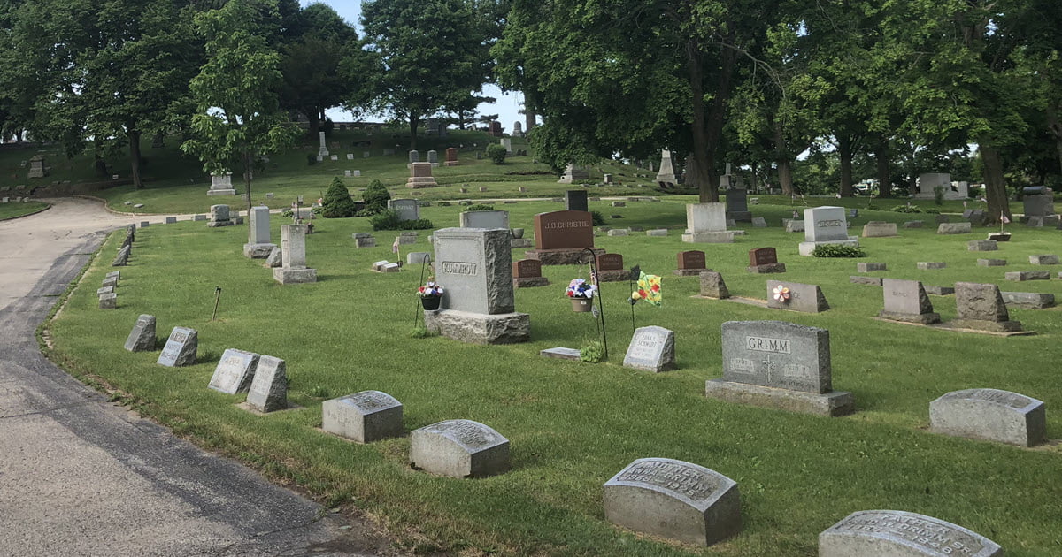
Mapping a Municipal Cemetery
With next-generation mapping abilities, CIMS is uniquely positioned to digitally advance your cemetery plot records into an organized and accessible software. Depending on the existing site conditions and historical context, we formulate a plan to map your cemetery. This might include ground-penetrating radar and drone photography to template and verify existing burial sites. Our team is able to digitally recreate your current cemetery map and translate into a searchable and updatable database for your team to access.
Multiple Employees, Multiple Cemeteries
Sometimes municipalities have multiple employees involved with cemetery management.
CIMS Software Capabilities
CIMS was created to help administrators and managers of municipal, private, and religious cemeteries. We offer desktop and cloud-based software solutions and a suite of integrations including Quickbooks and Salesforce CRM. Take a look at our full list of features.
Interested in a Demo?
Contact our team at CIMS to see if our solution might be the right for you.
About CIMS
Our background in engineering and GIS enabled our technology services team develop a software solution specific to cemeteries. Over the past 20 years, we’ve helped over 1,000 cemeteries in 49 states computerize their records and build GIS mapping systems using our software, CIMS. As part of Ramaker, we have a deep background in helping municipalities, school districts, and private businesses implement GIS for community development, utility layouts, and emergency management planning.


